

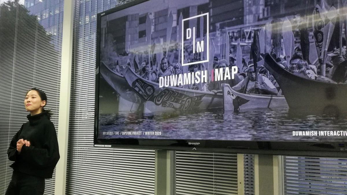
Students from Seattle‘s School of Visual Concepts (SVC) have been working with the UW SRP to develop a virtual map of the Duwamish River. Here SVC student, Joy Sitzes, presents her design.
Design students at Seattle‘s School of Visual Concepts (SVC) have been working with the UW Superfund Research Program to develop templates for a virtual map of the Duwamish River. The maps are designed to integrate information about the Lower Duwamish Waterway Superfund Site with the river’s environmental and cultural history, while giving users the experience and feel of visiting the river itself.
In March, capstone students in SVC’s user interface (UI) design program presented five designs for a virtual map of the river. Student Shannon McCafferty designed an interface called “Duwamish 360” that allows users to move through time while viewing significant environmental and cultural features of different eras, such as the locations of historic river bends, native villages, and changing land uses. Neha Kunwar’s interactive map immerses visitors in vibrant photographs of the river, and seeks to inspire engagement through storytelling. All of the prototypes bring the creative power of design to the task of deepening Seattle’s understanding of its hometown river and the significance of the Superfund site.
Working with UW SRP’s Community Engagement Core, SVC will help develop a selected map template into a new web site that allows visitors to experience the river while learning how to support ongoing cleanup and restoration efforts. We are looking forward to launching this exciting new community engagement tool by the end of this year!