The same geologic forces that shaped Washington state hold the potential to devastate the Pacific Northwest. This reality necessitates thorough disaster planning to prepare the region to mitigate, respond to and recover from future catastrophes.
At the same time, structural barriers continually lead to significant gaps in knowledge of how to prepare for disasters, with the perspectives of youth populations often being forgotten. To empower these overlooked voices, UW graduate student Matias Korfmacher is piloting a novel ‘photovoice’ methodology to incorporate youth perspectives in disaster planning.
Korfmacher is pursuing an MPH in the UW Department of Environmental & Occupational Health Sciences and a master’s of urban planning (MUP) in the UW Department of Urban Design and Planning.
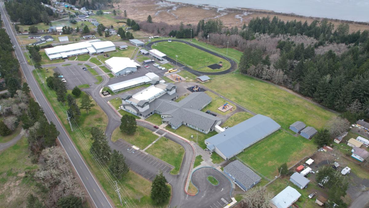
Funded by a Tier 1 Population Health Initiative pilot grant, Korfmacher and his research team — UW faculty members Nicole Errett, Daniel Abramson and Resham Patel — are partnering on a collaborative research project with the Science, Technology, Engineering, Arts and Mathematics (STEAM) club at Ocosta Junior-Senior High School.
Teaming up with high school students on the coast
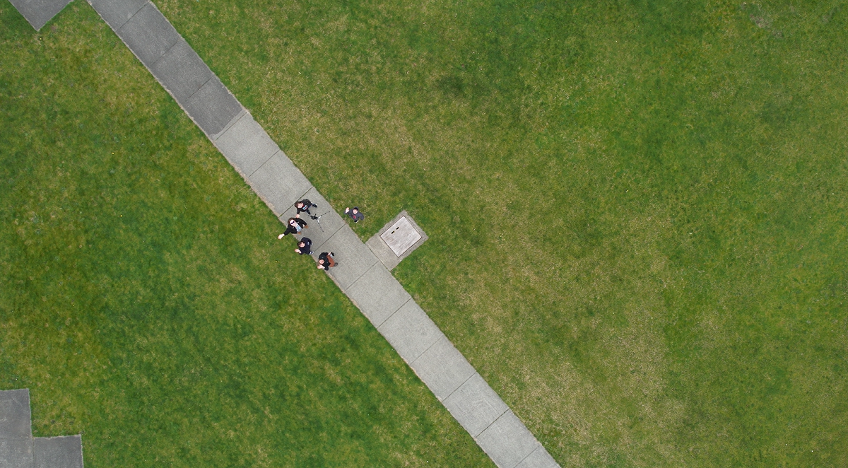
The STEAM club students will fly drones around Westport, Washington, with guidance from the research team, and identify community assets, defined as places, spaces and structures that provide something important to the community, which help the youth feel at home or connected to their community and place.
“About 98% of [Westport’s] developed land is in the tsunami inundation zone, which means when a tsunami hits, almost all of that infrastructure is going to be underwater,” explained Korfmacher. “When that tsunami comes, there will be a lot of rebuilding. For this to happen, we need to incorporate the areas that are important to youths in that process.”
The utilization of aerial vehicles in the field of research is still a fairly new concept but shows promise as a data collection tool.
Pioneering ‘photovoice’ with drones
“We’re piloting a novel photovoice methodology. We can’t find any other work where you equip community members with drones. No one’s really done this before,” emphasized Korfmacher.
The incorporation of drones into natural hazard planning also offers a critical aerial perspective that can aid in disaster management strategies.
“A lot of hazard disaster planning is done on maps with different sort of layers. With this top-down view, it becomes really easy to integrate these kinds of perspectives and images with existing planning,” explained Korfmacher.
After the images and videos of Westport are captured, students will participate in focus groups and discuss the community assets captured in the imagery, which will be transcribed and analyzed to identify common themes.
Sharing the results
These findings will be disseminated via three outputs: a shareable geonarrative of important places/spaces, recommendations to help inform city planning, such as the development of the city’s emergency response plan and then a protocol to conduct drone-based photovoice.
The geonarrative will feature a narrative analysis created by the STEAM club members overlaid on a 3D interactive map that can be shared with other community partners.
“This research is motivated by the fact that disruptions to place, especially traumatic disruptions, have really profound psychosocial health impacts. That is especially true among youth who rely on a sense of place to build their own personal identity,” said Korfmacher. “Figuring out the places and spaces that make them feel connected is going to be important to restore and help them bounce back, post-disaster.”
Adapted from the original post here.