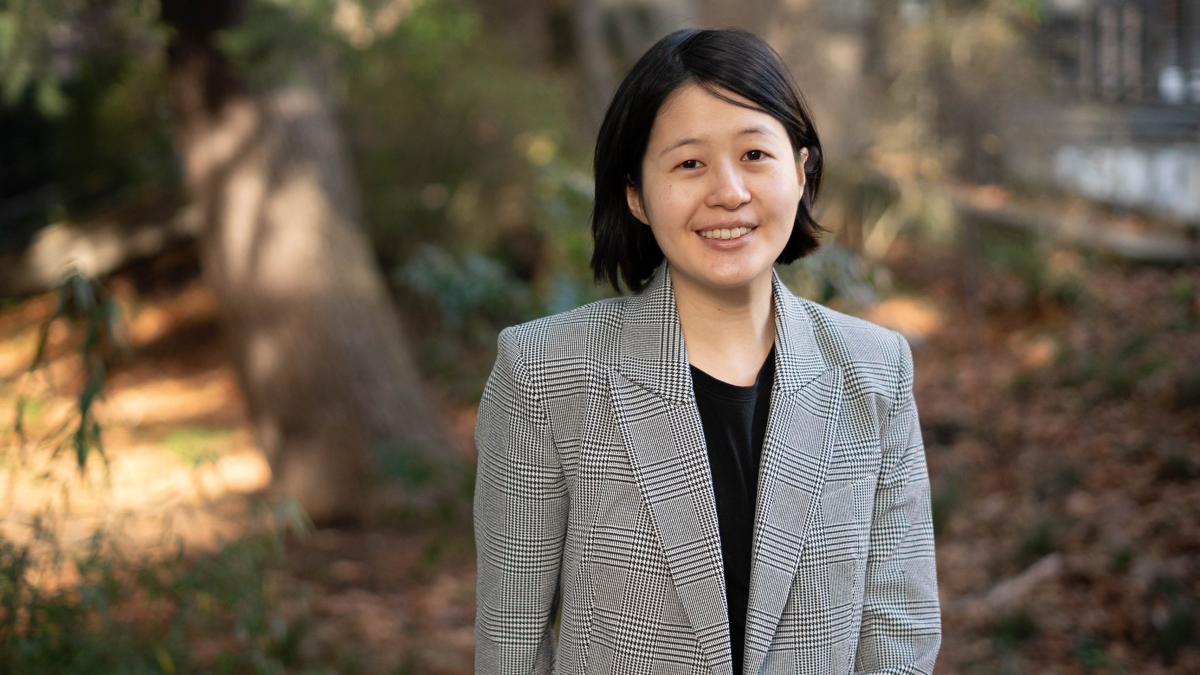
Assistant Professor Tzu-Hsin Karen Chen joined the UW last year with a joint appointment in the Department of Environmental & Occupational Health Sciences (DEOHS) and the Department of Urban Design and Planning (UDP) in the College of Built Environments. She recently spoke with the UDP about blending these two disciplines, her latest research and her new course using Google Earth Engine.
How did you get into your field of study?
Growing up in Taiwan, I witnessed heat stress, summer storms and landslides every year. Yet it wasn’t until a visit to a tribe just before college that the real impact hit me. The residents explained how a nearby dam, providing water and electricity to millions including myself, was causing landslides around their homes. I became interested in how natural hazards are not just natural processes but a complex interplay between land use patterns, policy decisions and social inequality.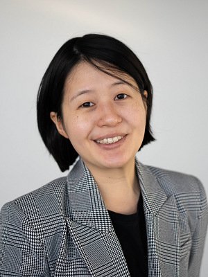
When I finished my bachelor’s degree in Geography in 2014, the Intergovernmental Panel on Climate Change (IPCC) report, for the first time, focused on urban areas as a single chapter for climate change mitigation and adaptation. It struck me that while we often discuss human land use’s role in disproportionate climate impacts, social sciences have been historically marginalized in climate change discussions.
I was drawn to remote sensing as a tool to bridge this gap. Satellite imagery, a form of big data, allows us to see urbanization, human activities, environmental degradation and disaster patterns. My recent work focuses on using these technologies to understand urban form changes and their health impacts, aiming to inform policies that foster healthier and more equitable cities.
What’s exciting to you about having appointments in both the College of Built Environments and DEOHS, and how do you see those two disciplines interconnecting in your work?
The joint appointment across the College of Built Environments and the School of Public Health is incredibly exciting. It places me at the crossroads with a student body and expert colleagues working with interdisciplinary studies. Urban Planning challenges me to think about governance, intervention layers and community engagement, which are helpful for me to explore routes for translating research into social impact. Environmental Health adds another layer, deepening my understanding of the complex risks we face with climate change.
Please describe your research and what makes it meaningful to you.
Currently, I’m leading two projects funded by the National Aeronautics and Space Administration to explore the impact of urbanization and urban planning on physical and mental health amid climate change. While topics like landslides and depression might seem unrelated, they all fall under the broad umbrella of sustainable development, intensified by climate change.
I’m particularly excited about integrating machine learning with satellite imagery to develop innovative applications. Through collaboration with regional experts, we’re examining how urban development and policies influence public health across various regions, including Africa, Asia, Europe and the United States. My ultimate goal is to foster an international community of scholars, students and practitioners dedicated to understanding and shaping healthier and more equitable cities.
What’s your vision for the impact you want to make through your teaching and research?
First, demystify AI and data science; second, make them accessible to non-STEM students; and third, stir up interdisciplinary research enthusiasm.
What’s a course that you’re especially excited to teach?
Remote Sensing for Environmental Health! We’ll use Google Earth Engine, which synthesizes satellite images over any country in just a few minutes. The term project, where students will investigate spatial inequality or environmental changes impacting health in a region of their choice, is particularly exciting.
What’s one thing you hope students who take a class with you will come away with?
I hope students see that data science is approachable and can be a powerful tool for social good. Like ChatGPT, data science can generate biased knowledge. I hope students will learn methods for scientific rigor but also understand that data is a reflection of human perspectives. It’s crucial for students to learn both the scientific rigor and the critical thinking needed to navigate these tools effectively.
Please tell us about a book, art piece, person or otherwise that has influenced your thinking and approach to your life and/or work.
Professor Karen Seto, my postdoc mentor, influenced my identity as a researcher. The first book we talked about when I was at Yale was Women Don’t Ask, which explores gender roles in professional life, challenges and solutions. She is also a role model for me as an overseas scholar leading the international community.
When you are not teaching, researching or working, what are you up to?
I love spending time with friends and family, drawing cooking inspiration from my friends’ comfort food, grooving with choreography or Zumba, walking in the woods and watching birds hopping.
Adapted from the original post here.
